Ready to unlock the bass fishing secrets of one of the Southeast's most stunning highland reservoirs? Our Lake Chatuge breakdown delivers everything you need to navigate this pristine North Carolina and Georgia border gem like a seasoned pro. This crystal-clear mountain lake sits at 1,927 feet above sea level, and we've spent countless hours mapping every productive structure that holds those chunky Lake Chatuge bass. Whether you're a tournament angler preparing for competition or a weekend warrior looking to put more fish in the boat, our comprehensive GPS waypoints will transform your fishing experience on this spectacular fishery.
We've left no stone unturned in creating this complete lake breakdown of Lake Chatuge's most productive bass fishing hotspots. Using advanced mapping technology including Google Earth®, Garmin® HD Contours, Navionics®, and other professional tools, our team has meticulously cataloged hundreds of waypoints covering brush piles, rocky ledges, submerged timber, creek channel swings, humps, drop-offs, points, and offshore structure. The lake's unique highland characteristics create incredible fishing opportunities around steep banks, secondary points, and the numerous creek arms that feed this 7,000-acre impoundment. From the main lake's deeper structure to the creek channels that wind through the mountains, every waypoint in our Lake Chatuge bass fishing package represents a proven producer.
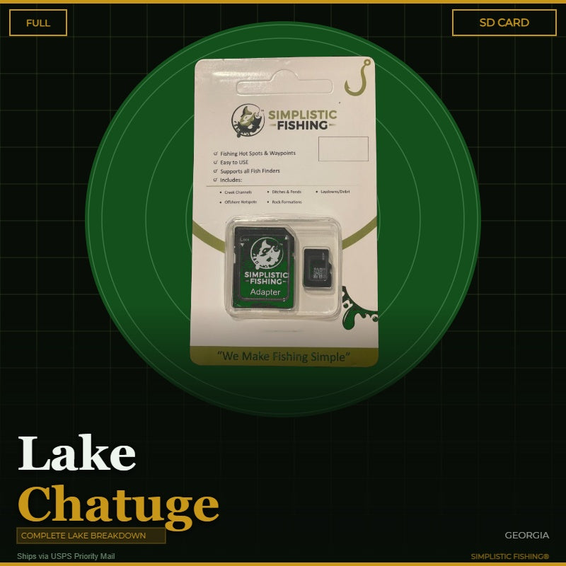
Your digital purchase includes both .gpx and .kml files that seamlessly import into all major fishing graphs and GPS units, making it effortless to navigate directly to these North Carolina and Georgia bass fishing hotspots. You can also view and manage all waypoints through our user-friendly Simplistic Fishing mobile app or explore them in Google Earth® to visualize the underwater structure before you even launch your boat. For anglers who prefer the convenience of plug-and-play technology, we offer an SD Card option that ships via USPS and comes pre-loaded with all your Lake Chatuge waypoints.
Don't spend another day on Lake Chatuge wondering where the bass are hiding – let our proven waypoints guide you to consistent success. With your purchase, you'll also receive a free 15-day trial of our Simplistic Fishing app, giving you access to even more tools and features to enhance your fishing adventures. Download your Lake Chatuge bass fishing waypoints today and start catching more fish tomorrow!
Every purchase includes a free 15-day trial of the Simplistic Fishing app. Terms apply →