

Simplistic Fishing
Fayette County Reservoir - Bass Fishing Hot Spots & Waypoints
Fayette County Reservoir - Bass Fishing Hot Spots & Waypoints
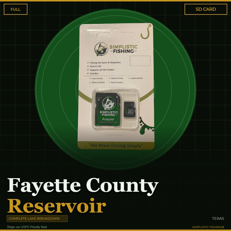
Buying the digital files? You'll need a PC or Mac with an SD card reader to load them onto your SD card — a phone or tablet can't transfer them. Want it done for you? Choose the SD Card option above and we'll ship it ready to use.
Couldn't load pickup availability
- Channels/Ditches & Drains 6
- Cover/Structure 49
- Offshore 31
- Ramps/Slabs 4
- Rock 6
When you're ready to unlock the secrets of one of Texas's premier bass fishing destinations, our Fayette County Reservoir Lake breakdown delivers everything you need to start catching more fish. This complete lake analysis combines years of on-water experience with cutting-edge technology, using Google Earth®, Garmin® HD Contours, and other professional mapping tools to identify every productive structure and cover that holds bass. We've meticulously marked the GPS waypoints for brush piles, ledges, rocks, timber, creek channel swings, humps, drop-offs, points, offshore structure, and attractors that make Fayette County Lake such an incredible Texas bass fishing hotspot.
Our team has spent countless hours studying this lake's unique characteristics, from its cooling lake origins to the diverse structure that creates perfect bass habitat throughout the seasons. These fishing hotspots aren't just random marks on a map – they're proven producers that we've identified through comprehensive analysis and real-world fishing experience. Whether you're targeting shallow cover in the spring or working deeper structure during the summer months, these waypoints give you the exact coordinates to fish with confidence on every trip to Fayette County Lake.
Your digital purchase includes both .gpx and .kml files that import seamlessly into all major fishing graphs and GPS units, plus you can view everything through our Simplistic Fishing mobile app and Google Earth® for easy trip planning. If you prefer the convenience of plug-and-play technology, our SD Card option ships via USPS and comes pre-loaded with all your waypoints. Every purchase also includes a free 15-day trial of the Simplistic Fishing app, giving you access to additional features and lake data.
Don't spend another day wondering where the bass are hiding on Fayette County Reservoir. Get our complete GPS waypoints package today and start fishing like a local pro who knows exactly where to find the fish!
Every purchase includes a free 15-day trial of the Simplistic Fishing app. Terms apply →
On-the-Water Safety
On-the-Water Safety
Waypoints mark fishing structure, not safe travel routes. Brush piles, humps, ledges, rock, and attractors are exactly the kind of things a boat can hit. Many of the best spots sit in shallow or timber-filled water — idle in, watch your depth, and never run a straight line between waypoints at speed.
- You are the captain. Keep a proper lookout and run at a safe speed for the conditions, especially at night or in low light.
- GPS data can't guarantee obstacle clearance. Lake levels and structure change; a waypoint shows where something is, not that the water around it is safe.
- Looking for safe boat routes? Our Guide Lanes are verified navigation paths for select Texas lakes.
Safe operation of your boat is your responsibility. Simplistic Fishing is not responsible for damage, injury, or loss arising from use of this product.
Share


Fishing More Than One Lake?
Most anglers fish a handful of lakes a season. Grab the breakdowns together and the savings stack automatically at checkout — no codes to enter.
Discount applies automatically in cart. The more lakes you add, the more you save.