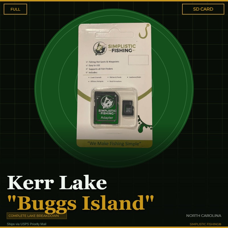
Buying the digital files? You'll need a PC or Mac with an SD card reader to load them onto your SD card — a phone or tablet can't transfer them. Want it done for you? Choose the SD Card option above and we'll ship it ready to use.
Couldn't load pickup availability
Get ready to unlock the secrets of one of North Carolina's premier bass fishing destinations with our comprehensive Kerr Lake "Buggs Island" breakdown. This massive 50,000-acre impoundment straddling the North Carolina-Virginia border has been producing trophy largemouth bass for decades, and we've spent countless hours mapping every productive structure and cover that makes Kerr Lake bass fishing so rewarding. Our team has meticulously analyzed this sprawling reservoir using Google Earth®, Garmin® HD Contours, Navionics®, and other professional tools to bring you the most detailed GPS waypoints package available for this incredible fishery.
Our complete lake breakdown covers all the essential bass fishing hotspots that make Kerr Lake legendary among North Carolina bass fishing enthusiasts. From the extensive timber and brush piles scattered throughout the lake's shallow coves to the deep-water ledges and drop-offs along the main channel, we've marked every piece of structure that consistently holds bass. You'll discover productive creek channel swings in areas like Grassy Creek and Butcher Creek, as well as the rocky points and humps that create ambush spots for feeding bass. The lake's diverse structure includes everything from standing timber in the upper reaches to offshore attractors and man-made structure that local anglers have relied on for years.
Whether you're targeting pre-spawn bass in the shallow timber during spring or hunting for suspended fish along the deeper ledges in summer, our GPS waypoints will guide you to the most productive areas on Kerr Lake. The underwater topography of this North Carolina gem includes countless creek channels, ridges, and drop-offs that create the perfect habitat for both largemouth and spotted bass. We've identified the key transition zones where bass move seasonally, from the shallow flats and coves perfect for flipping and pitching to the main lake points and offshore structure that shine during the warmer months.
Your digital purchase includes both .gpx and .kml files that import seamlessly into your fishing graphs and GPS units, plus access to view all waypoints in our Simplistic Fishing mobile app and Google Earth®. If you prefer the convenience of plug-and-play navigation, our SD Card option ships via USPS and comes pre-loaded with all waypoints. Every purchase includes a free 15-day trial of the Simplistic Fishing app, giving you the tools to make the most of your time on the water. Don't spend another day wondering where the bass are hiding on Kerr Lake – let our proven waypoints guide you to your next personal best!
Every purchase includes a free 15-day trial of the Simplistic Fishing app. Terms apply →