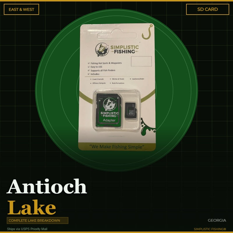
Discover the ultimate bass fishing secrets at Antioch Lake, GA with our meticulously crafted fishing waypoints. Leveraging the power of Google Earth®, Garmin® HD Contours as well as other tools, we've pinpointed the most productive hot spots where bass thrive. Delve into the intricacies of the lake breakdown, as our waypoints lead you to strategic locations like fish attractors, laydowns, stumps, rock and drowned creek ditches, ensuring you're at the heart of the action.
Antioch Lake is the 357-acre centerpiece of Rocky Mountain Public Fishing Area in Floyd County, northwest of Rome, split by a road into East and West lakes. Filled in 1993, it flooded the Texas Valley bottom – old farm ponds, creek beds and the original Texas Valley Road – and is managed by Georgia DNR for largemouth bass, bluegill, redear sunfish, crappie, channel catfish and walleye. Our breakdown covers both East and West in one file and marks 204 waypoints, including 100 fish attractors, 63 cover spots (laydowns, stumps, debris and standing trees), 20 rock spots, 12 ditch and drain markers, 6 offshore points and 3 ramps and slabs, plus traced creek channel and ditch lines.
But that's not all – we've taken it a step further by uncovering offshore fishing hot spots. Explore creek channel swings, humps, ledges, drop-offs, and points that promise an exhilarating bass fishing experience. The simplicity lies in the seamless import of these waypoints into your fishing graphs, providing you with a hassle-free navigation experience.
When you make a digital file purchase, you'll receive a supporting email containing the essential files for your graph – a .gpx file and a .kml file. These files not only enhance your on-the-water experience but also offer the flexibility to view Simplistic Fishing waypoints through a mobile app or on Google Earth®.
Elevate your bass fishing game with precision and ease and let our lake breakdown guide you to success on Antioch Lake, GA.
Every purchase includes a free 15-day trial of the Simplistic Fishing app. Terms apply →