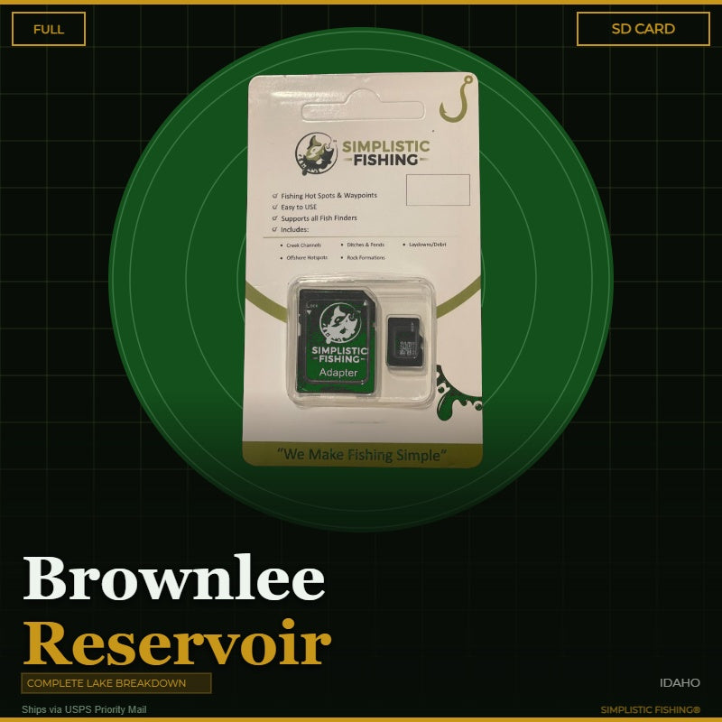
Buying the digital files? You'll need a PC or Mac with an SD card reader to load them onto your SD card — a phone or tablet can't transfer them. Want it done for you? Choose the SD Card option above and we'll ship it ready to use.
Couldn't load pickup availability
GPS-Verified Waypoints
Every brush pile, ledge, and structure point.
493
What's Included
Channels/Ditches & Drains65
Cover/Structure44
Offshore60
Ramps/Slabs11
Rock313
When you're chasing smallmouth on Brownlee Reservoir, the water is big and the clock is short – 58 miles of flooded Snake River canyon on the Idaho-Oregon border is a lot of water to break down on your own. Our complete Brownlee Reservoir breakdown does the homework for you. We've mapped this roughly 15,000-acre Hells Canyon impoundment using Google Earth®, USGS lidar terrain, and other professional tools to pinpoint the structure that makes Brownlee one of the West's premier smallmouth bass, crappie, and channel catfish fisheries.
Rock is the name of the game on Brownlee, and our waypoints put you on it. We've marked more than 150 chunk-rock and rubble banks – the 40-60% grade stretches where smallmouth set up to feed – along with the riprap on the dam face. You'll also get every major drain marked: the creek and gully mouths that funnel food into the reservoir and create the little pockets and points bass and catfish use year-round. The full length of the submerged Snake River channel is traced from the dam to the upper river, plus the Powder River arm and fifteen named creek channels like Brownlee Creek, Dennett Creek, and Connor Creek – the travel routes that matter most when Brownlee's famous drawdowns pull fish off the bank.
Your digital purchase imports seamlessly into Google Earth® and your fishing electronics, making it easy to navigate straight to each spot. Whether you're making the run from Woodhead Park, Farewell Bend, or Steck Park, you can study the structure at home before you ever launch the boat. You can also view your lake breakdown through our Simplistic Fishing mobile app, so the whole map rides in your pocket.
Don't spend another trip idling down the canyon wondering which bank holds fish. For anglers who prefer a physical backup, we also offer an SD Card option that ships via USPS and comes pre-loaded with all your waypoints. Get your Brownlee Reservoir GPS waypoints today and fish this Snake River giant like you've spent years learning it!
Elevate your fishing game with precision and ease and let our lake breakdown guide you to success on Brownlee.
Every purchase includes a free 15-day trial of the Simplistic Fishing app. Terms apply →