

Simplistic Fishing
Cedar Creek Texas Lake - Bass Fishing Hot Spots & Waypoints
Cedar Creek Texas Lake - Bass Fishing Hot Spots & Waypoints
Buying the digital files? You'll need a PC or Mac with an SD card reader to load them onto your SD card — a phone or tablet can't transfer them. Want it done for you? Choose the SD Card option above and we'll ship it ready to use.
Couldn't load pickup availability
- Bridges/Roads & Culverts 13
- Channels/Ditches & Drains 28
- Cover/Structure 108
- Hazards 20
- Offshore 92
- Ramps/Slabs 126
- Rock 184
Get ready to unlock the hidden secrets of Cedar Creek Lake, one of East Texas's most rewarding bass fishing destinations! This stunning 32,000-acre impoundment has been producing trophy largemouth bass for decades, and now you can fish it like a seasoned local with our complete Cedar Creek Lake breakdown. We've spent countless hours mapping every productive inch of this incredible fishery, from the sprawling flats near the dam to the winding creek channels that snake through the upper reaches. Whether you're targeting pre-spawn bass along rocky points or chasing schooling fish over submerged humps, our GPS waypoints will put you on the fish faster than ever before.
Our Cedar Creek Texas bass fishing hotspots package represents months of meticulous research using Google Earth®, Garmin® HD Contours, and other professional mapping tools to identify the most productive structure on the lake. We've marked everything that matters for Texas bass fishing success: submerged timber from the original creek channels, man-made brush piles, rocky ledges, humps that rise from the depths, creek channel swings where bass ambush baitfish, and offshore attractors that consistently hold fish year-round. These aren't random dots on a map – every single waypoint has been carefully selected based on structure, depth changes, and proven fish-holding potential that makes Cedar Creek Lake such a bass fishing paradise.
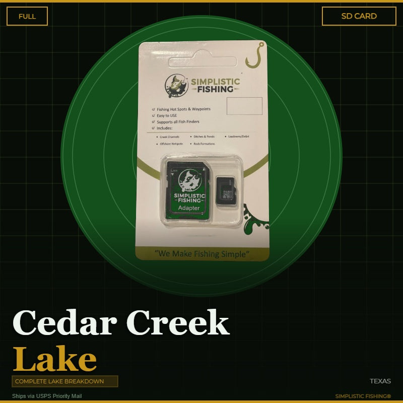
Your digital purchase includes both .gpx and .kml files that seamlessly import into your favorite fishing electronics, whether you're running Garmin®, Lowrance®, Humminbird®, or other GPS units. You can also view all waypoints in our Simplistic Fishing mobile app or load them into Google Earth® to study the structure before you even launch your boat. For anglers who prefer the convenience of plug-and-play technology, our SD Card option ships via USPS and comes pre-loaded with all your Cedar Creek Lake waypoints, ready to drop into your graph and start fishing immediately.
Don't spend another trip wandering around this massive lake hoping to stumble onto bass – let our proven lake breakdown guide you to the hotspots that consistently produce fish. With your free 15-day Simplistic Fishing app trial included with every purchase, you'll have everything you need to start catching more bass on Cedar Creek Lake today!
Every purchase includes a free 15-day trial of the Simplistic Fishing app. Terms apply →
Share


Fishing More Than One Lake?
Most anglers fish a handful of lakes a season. Grab the breakdowns together and the savings stack automatically at checkout — no codes to enter.
Discount applies automatically in cart. The more lakes you add, the more you save.
GPS mapping product providing hotspots and waypoints for fishing. Most customers praised it as "very detailed" and said it "helped find fish," with easy installation. However, one customer felt disappointed, stating "very few brush piles" and "just mostly tracks the bank," questioning its value beyond public data.
- The hotspots and waypoints card has helped me find fish.
- Great product, very detailed, will be purchasing more lakes in the future.
- Works perfectly and great information.
- 5 stars: 5 (83%)
- 4 stars: 0 (0%)
- 3 stars: 0 (0%)
- 2 stars: 0 (0%)
- 1 star: 1 (17%)
Not what I expected!!! Very few Brush piles! Hardly anything that is already on Navionics or Public knowledge! I wasted my money!! The map just mostly tracks the Bank!! Definitely not worth it
Uploaded the Sandisk on our Lowrance unit and off to the lake.
Great product, very detailed, will be purchasing more lakes in the future.
The Cedar Creek reservoir hotspots and waypoints card has helped me find fish.
Works perfectly and great information. Thanks Tyler
Is a great product. Great service! Have purchased multiple lakes. Worth it.