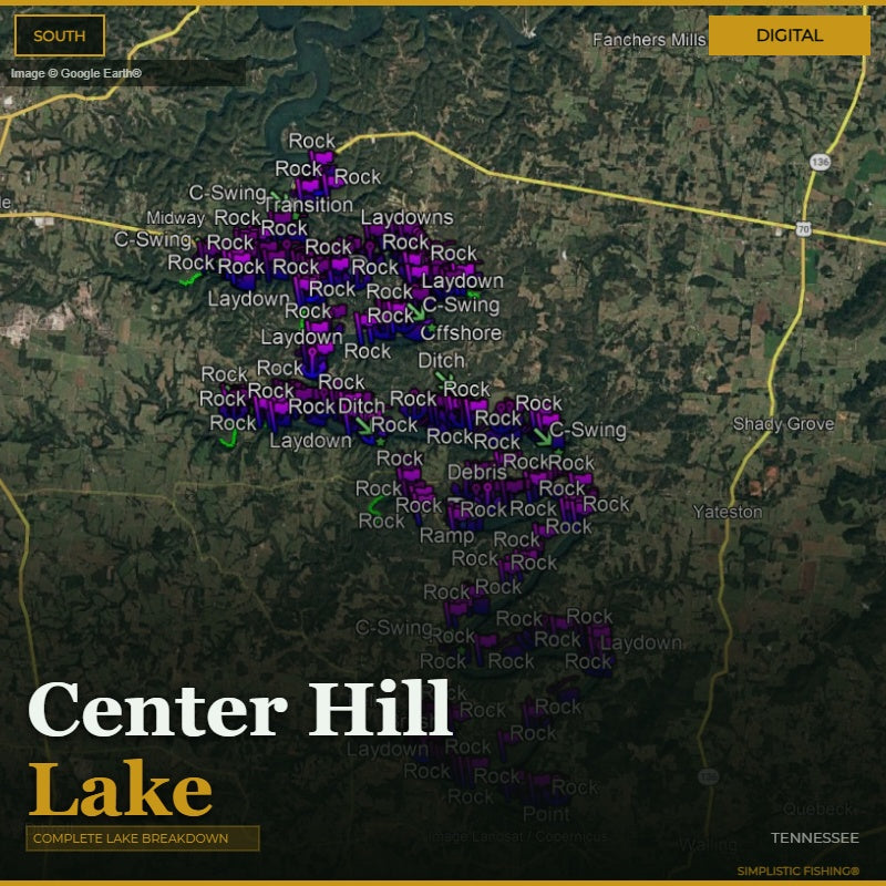
Discover the ultimate bass fishing secrets at Center Hill Lake, TN with our meticulously crafted fishing waypoints. Leveraging the power of Google Earth®, Garmin® HD Contours as well as other tools, we've pinpointed the most productive hot spots where bass thrive. Delve into the intricacies of the lake breakdown, as our waypoints lead you to strategic locations like bluffs, rock points, brush, and creek channels, ensuring you're at the heart of the action.
Center Hill is 18,220 acres of the Caney Fork River across DeKalb, Putnam, Warren and White counties, held back by a 260-foot Corps dam finished in 1948 — 64 miles long, roughly 415 miles of shoreline, and close to 190 feet deep. TWRA rates its smallmouth habitat alongside Dale Hollow's, and the reason is rock: bluffs, rock points and steep ridges end to end. Our breakdown reflects exactly that, with 858 waypoints — 384 of them rock, plus 218 cover marks, 95 channel features, and 93 offshore spots.
But that's not all – we've taken it a step further by uncovering offshore fishing hot spots. Explore creek channel swings, humps, ledges, bluff ends, and long tapering points that promise an exhilarating bass fishing experience. The simplicity lies in the seamless import of these waypoints into your fishing graphs, providing you with a hassle-free navigation experience.
When you make a digital file purchase, you'll receive a supporting email containing the essential files for your graph – a .gpx file and a .kml file. These files not only enhance your on-the-water experience but also offer the flexibility to view Simplistic Fishing waypoints through a mobile app or on Google Earth®.
Elevate your bass fishing game with precision and ease and let our lake breakdown guide you to success on Center Hill Lake, TN.
Every purchase includes a free 15-day trial of the Simplistic Fishing app. Terms apply →