

Simplistic Fishing
George (NY) Lake - Bass Fishing Hot Spots & Waypoints
George (NY) Lake - Bass Fishing Hot Spots & Waypoints
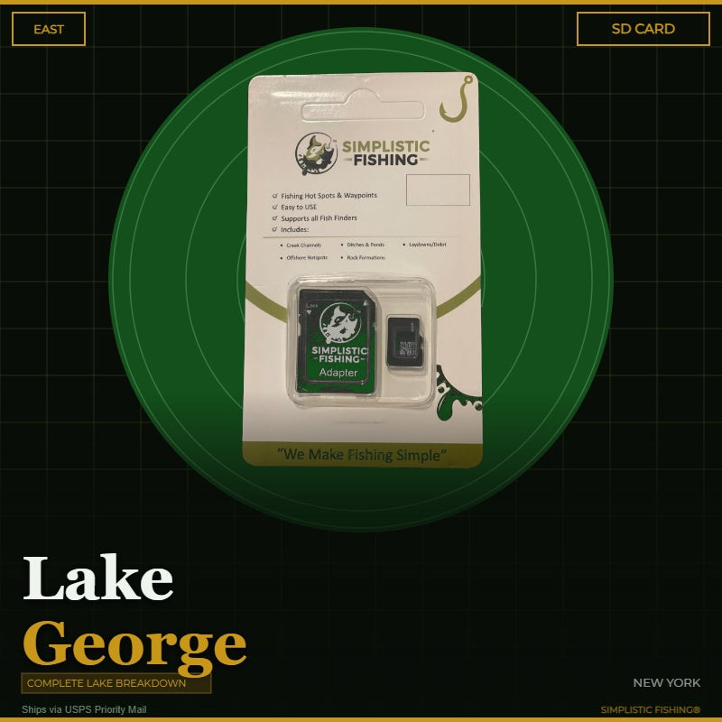
Buying the digital files? You'll need a PC or Mac with an SD card reader to load them onto your SD card — a phone or tablet can't transfer them. Want it done for you? Choose the SD Card option above and we'll ship it ready to use.
Couldn't load pickup availability
- Channels/Ditches & Drains 29
- Cover/Structure 98
- Offshore 647
- Ramps/Slabs 25
- Rock 519
- Vegetation 12
Discover the ultimate bass fishing secrets at Lake George, NY with our meticulously crafted fishing waypoints. Leveraging the power of Google Earth®, Garmin® HD Contours as well as other tools, we've pinpointed the most productive hot spots where bass thrive. Delve into the intricacies of the lake breakdown, as our waypoints lead you to strategic locations like offshore hard spots, rock piles, boulders, laydowns, debris, saddles, flats, bluffs and weed beds, ensuring you're at the heart of the action.
Lake George stretches roughly 32 miles through the southeastern Adirondacks, from Lake George Village north to Ticonderoga, covering about 28,000 acres across Warren and Essex counties. Its clear, deep water (more than 180 feet at its deepest), 170-plus islands and the island-studded Narrows between Tongue Mountain and Black Mountain make it one of the Northeast's premier smallmouth fisheries, with quality largemouth in the weedy bays. Our breakdown marks 1,330 waypoints, including 647 offshore spots and hard spots, 519 rock and boulder marks, 98 cover and structure spots (debris, laydowns, flats, saddles and bluffs), 29 ditches and drains, 25 ramps and slabs, and 12 vegetation marks, plus 6 traced channels. Buy the full lake, or pick a section: the West section covers the south basin from Lake George Village past Bolton Landing and into Northwest Bay (790 waypoints), and the East section runs from the Narrows north to Ticonderoga (540 waypoints).
But that's not all – we've taken it a step further by uncovering offshore fishing hot spots. Explore creek channel swings, humps, ledges, drop-offs, and points that promise an exhilarating bass fishing experience. The simplicity lies in the seamless import of these waypoints into your fishing graphs, providing you with a hassle-free navigation experience.
When you make a digital file purchase, you'll receive a supporting email containing the essential files for your graph – a .gpx file and a .kml file. These files not only enhance your on-the-water experience but also offer the flexibility to view Simplistic Fishing waypoints through a mobile app or on Google Earth®.
Elevate your bass fishing game with precision and ease and let our lake breakdown guide you to success on Lake George, NY.
Every purchase includes a free 15-day trial of the Simplistic Fishing app. Terms apply →
On-the-Water Safety
On-the-Water Safety
Waypoints mark fishing structure, not safe travel routes. Brush piles, humps, ledges, rock, and attractors are exactly the kind of things a boat can hit. Many of the best spots sit in shallow or timber-filled water — idle in, watch your depth, and never run a straight line between waypoints at speed.
- You are the captain. Keep a proper lookout and run at a safe speed for the conditions, especially at night or in low light.
- GPS data can't guarantee obstacle clearance. Lake levels and structure change; a waypoint shows where something is, not that the water around it is safe.
- Looking for safe boat routes? Our Guide Lanes are verified navigation paths for select Texas lakes.
Safe operation of your boat is your responsibility. Simplistic Fishing is not responsible for damage, injury, or loss arising from use of this product.
Share


Fishing More Than One Lake?
Most anglers fish a handful of lakes a season. Grab the breakdowns together and the savings stack automatically at checkout — no codes to enter.
Discount applies automatically in cart. The more lakes you add, the more you save.