

Simplistic Fishing
Governor Bond Lake - Bass Fishing Hot Spots & Waypoints
Governor Bond Lake - Bass Fishing Hot Spots & Waypoints
Buying the digital files? You'll need a PC or Mac with an SD card reader to load them onto your SD card — a phone or tablet can't transfer them. Want it done for you? Choose the SD Card option above and we'll ship it ready to use.
Couldn't load pickup availability
- Attractors 13
- Channels/Ditches & Drains 12
- Cover/Structure 95
- Offshore 45
- Ramps/Slabs 3
- Rock 132
Governor Bond Lake sits just north of Greenville in Bond County, Illinois — a 775-acre reservoir built in the late 1960s as a water supply lake and cooperatively managed by the Illinois Department of Natural Resources and the City of Greenville. With rock shoreline, woody structure, aquatic vegetation, and a healthy mix of stocked and natural species, Governor Bond is one of southwestern Illinois' most productive bass fisheries.
The lake holds largemouth bass, hybrid striped bass, channel catfish, bluegill, black crappie, white crappie, and more — with the IDNR actively stocking supplemental largemouth bass, channel catfish, and annual hybrid striped bass to keep the fishery thriving year after year.
Our complete GPS waypoint package covers the entire lake — every significant brush pile, ledge, channel swing, offshore structure, drop-off, rocky point, and attractor we've identified using Google Earth®, and Garmin® HD Contours data. Stop guessing and launch with confidence knowing exactly where the fish are holding.
What's Included:
- .GPX file — compatible with Garmin®, Humminbird®, Lowrance®, Simrad®, Raymarine® & Furuno®
- .KML file — view all waypoints overlaid on Google Earth®
- Matrix folder — organized for fast, easy import
- Step-by-step import guide for all major fish finder brands
- Free 15-day trial of the Simplistic Fishing mobile app
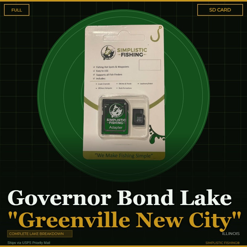
Available as a digital download (instant delivery) or pre-loaded SD card shipped via USPS Priority Mail.
On-the-Water Safety
On-the-Water Safety
Waypoints mark fishing structure, not safe travel routes. Brush piles, humps, ledges, rock, and attractors are exactly the kind of things a boat can hit. Many of the best spots sit in shallow or timber-filled water — idle in, watch your depth, and never run a straight line between waypoints at speed.
- You are the captain. Keep a proper lookout and run at a safe speed for the conditions, especially at night or in low light.
- GPS data can't guarantee obstacle clearance. Lake levels and structure change; a waypoint shows where something is, not that the water around it is safe.
- Looking for safe boat routes? Our Guide Lanes are verified navigation paths for select Texas lakes.
Safe operation of your boat is your responsibility. Simplistic Fishing is not responsible for damage, injury, or loss arising from use of this product.
Share


Fishing More Than One Lake?
Most anglers fish a handful of lakes a season. Grab the breakdowns together and the savings stack automatically at checkout — no codes to enter.
Discount applies automatically in cart. The more lakes you add, the more you save.