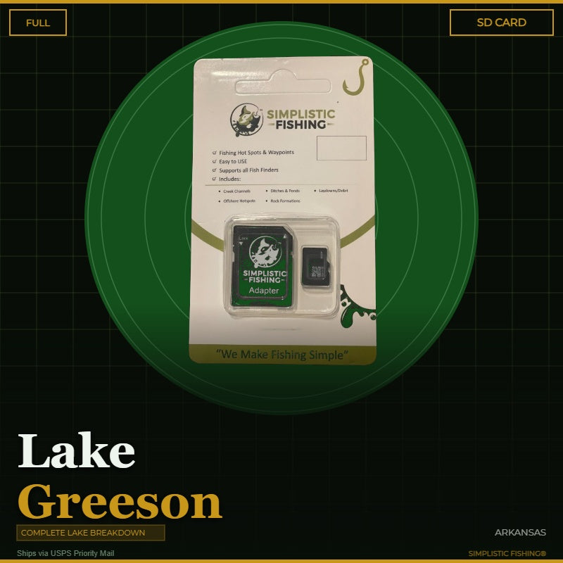
Lake Greeson is not a lake you figure out by idling around. When Narrows Dam closed on the Little Missouri River in 1950, it flooded steep, rocky Ouachita foothill country – 7,260 acres at power pool, roughly 134 miles of shoreline, and water clear enough that the fish set up tight to the edges. Long rock ridges run out into the lake as points, peninsulas, and islands, and the best of that structure never shows on the surface. Our complete Lake Greeson breakdown does the homework for you, built with Google Earth®, USGS terrain data, the 1969 pre-impoundment USGS quads, and Arkansas Game and Fish's published attractor data – so you can find largemouth, spotted and white bass, stripers, crappie, bream, and catfish without burning a weekend looking.
This breakdown marks 1,078 waypoints, broken out the way you actually fish the lake:
-
258 rock spots – chunk-rock and rubble banks measured out in 40-60% grade stretches, plus the dam face and the riprap approaches under the US-70 Self Creek bridge.
-
231 offshore pins – humps, ledges, drop-offs, channel swings, and the long tapering points where they break.
-
354 AGFC fish attractor sites – every published attractor on Lake Greeson, each marked with its official site number.
-
180 cover and structure locations – laydowns, brush, wood debris, hard-bottom spots, flats, and saddles.
-
34 ditch and drain marks – the creek mouths and gullies that funnel bait into the lake.
-
17 ramps and slabs and 4 bridge and submerged roadbed marks, including Daisy State Park, Arrowhead Point, the Highway 70 Landing, and the old Kirby-Murfreesboro road bed traced off the 1969 quad.
The channels are traced, not just marked. You get 25 continuous channel runs – the Little Missouri River channel plus the named creek channels including Bear Creek, Cowhide Creek, Parker Creek, Self Creek, and the West Fork. Those are the travel routes that matter most when Greeson pulls down in late summer and the fish slide off the bank.
Your digital purchase includes both a .gpx and a .kml file that import into Google Earth® and your fishing electronics, so you can study the lake at home before you ever back the trailer down. You can also view the whole breakdown in our Simplistic Fishing mobile app, so the map rides in your pocket. Prefer plug-and-play? Our SD Card option ships pre-loaded via USPS, ready to drop straight into your unit's card slot.
Stop guessing which rock bank holds fish. Get your Lake Greeson GPS waypoints today and fish this Little Missouri gem like you have spent years learning it.
Every purchase includes a free 15-day trial of the Simplistic Fishing app. Terms apply →