


Simplistic Fishing
Guntersville Lake - Bass Fishing Hot Spots & Waypoints
Guntersville Lake - Bass Fishing Hot Spots & Waypoints
Buying the digital files? You'll need a PC or Mac with an SD card reader to load them onto your SD card — a phone or tablet can't transfer them. Want it done for you? Choose the SD Card option above and we'll ship it ready to use.
Couldn't load pickup availability
- Channels/Ditches & Drains 46
- Cover/Structure 448
- Offshore 329
- Ramps/Slabs 80
- Rock 517
- Vegetation 677
When you think about legendary bass fishing destinations, Guntersville Lake in Alabama consistently ranks among the absolute best, and after years of studying this incredible fishery, we're excited to share our complete lake breakdown with fellow anglers. This Tennessee Valley Authority reservoir has produced countless tournament wins and personal bests, and our comprehensive GPS waypoints package will put you on the fish faster than ever before. We've meticulously mapped every productive inch of Guntersville Lake using professional tools including Google Earth®, Garmin® HD Contours, and Navionics® to create the most detailed fishing hotspots guide available for Alabama bass fishing enthusiasts.
Our Guntersville Lake bass fishing waypoints cover all the essential structure that makes this fishery so productive – from the famous grass beds and submerged timber to ledges, creek channel swings, brush piles, rocks, humps, drop-offs, points, and offshore attractors that hold bass year-round. Whether you're targeting the legendary largemouth population in the shallows or pursuing spotted bass on deeper structure, we've identified the precise locations where fish consistently congregate. This complete lake breakdown represents hundreds of hours of research and on-water verification, giving you insider knowledge of Guntersville's most productive bass fishing areas.
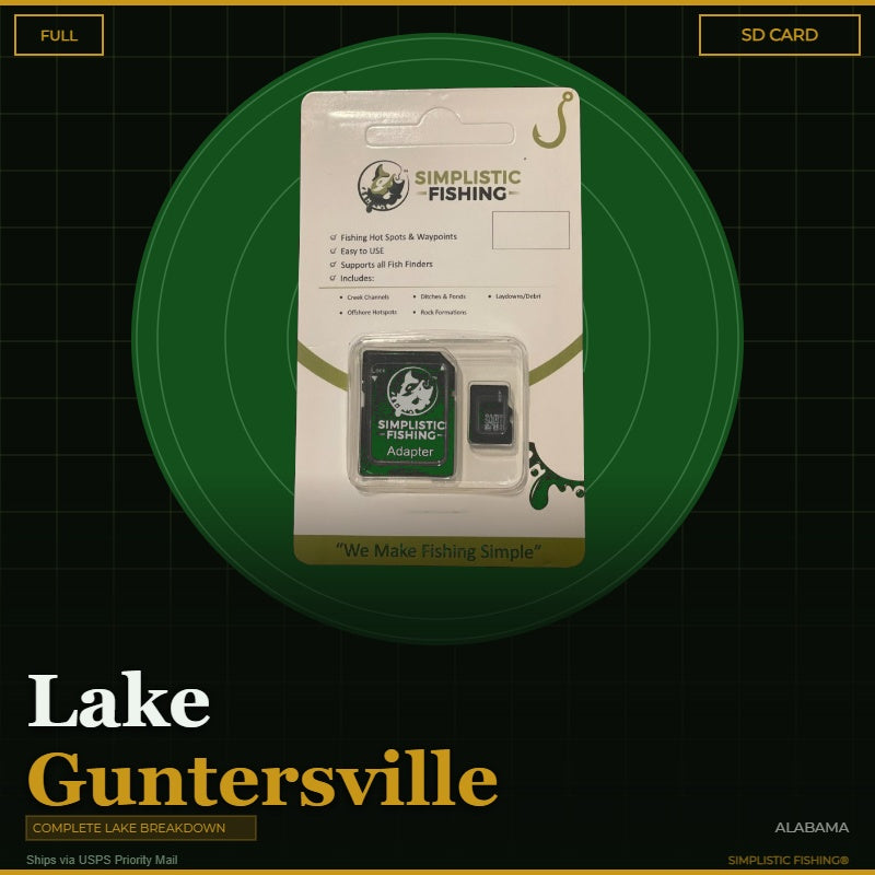
Your digital purchase includes both .gpx and .kml files that seamlessly import into your fishing graphs and GPS units, plus the ability to view all waypoints in our user-friendly Simplistic Fishing mobile app and Google Earth®. For anglers who prefer the convenience of plug-and-play technology, we also offer an SD Card option that ships via USPS and comes pre-loaded with all your Guntersville Lake waypoints. Every purchase includes a free 15-day trial of the Simplistic Fishing app, allowing you to explore additional features and maximize your time on the water.
Don't waste another trip searching blindly for fish on Guntersville Lake – let our proven waypoints guide you to the bass fishing success you've been dreaming about and start filling your livewell with Alabama's finest largemouth and spotted bass today.
Section map – buy the full lake, or just the section you fish:

- Upper Section – 978 waypoints
- Lower Section – 1,072 waypoints
Every purchase includes a free 15-day trial of the Simplistic Fishing app. Terms apply →
On-the-Water Safety
On-the-Water Safety
Waypoints mark fishing structure, not safe travel routes. Brush piles, humps, ledges, rock, and attractors are exactly the kind of things a boat can hit. Many of the best spots sit in shallow or timber-filled water — idle in, watch your depth, and never run a straight line between waypoints at speed.
- You are the captain. Keep a proper lookout and run at a safe speed for the conditions, especially at night or in low light.
- GPS data can't guarantee obstacle clearance. Lake levels and structure change; a waypoint shows where something is, not that the water around it is safe.
- Looking for safe boat routes? Our Guide Lanes are verified navigation paths for select Texas lakes.
Safe operation of your boat is your responsibility. Simplistic Fishing is not responsible for damage, injury, or loss arising from use of this product.


Fishing More Than One Lake?
Most anglers fish a handful of lakes a season. Grab the breakdowns together and the savings stack automatically at checkout — no codes to enter.
Discount applies automatically in cart. The more lakes you add, the more you save.