

Simplistic Fishing
Neshoba County Lake - Bass Fishing Hot Spots & Waypoints
Neshoba County Lake - Bass Fishing Hot Spots & Waypoints
Buying the digital files? You'll need a PC or Mac with an SD card reader to load them onto your SD card — a phone or tablet can't transfer them. Want it done for you? Choose the SD Card option above and we'll ship it ready to use.
Couldn't load pickup availability
- Channels/Ditches & Drains 22
- Cover/Structure 4
- Offshore 13
- Ramps/Slabs 1
- Rock 5
Tucked into the pines seven miles southeast of Philadelphia off Highway 486, Neshoba County Lake is proof that you don't need big water to catch big bass — this 138-acre MDWFP state lake gave up a 14.3-pound largemouth in 2017, breaking its own 14-pound record from 2011. We've mapped every ditch, channel and brush pile on it using Google Earth®, Garmin® HD Contours, and other professional mapping tools, so you can spend your day fishing structure instead of hunting for it.
Neshoba is a shallow, structure-driven lake — it averages only about five and a half feet deep, which means the subtle stuff is everything. Our GPS waypoints mark the ditches and creek channels that crisscross the flats, the four major creek arms feeding the lake, the deeper water running the levee, and the channel-edge brush piles that stack up crappie and bass alike. We've also pinpointed the sunken cedar attractors dropped by the fisheries crew, plus the stumps, holes and grass edges that hold fish through the warm months. On a lake this shallow, a two-foot drop is a spot — and we've marked them.
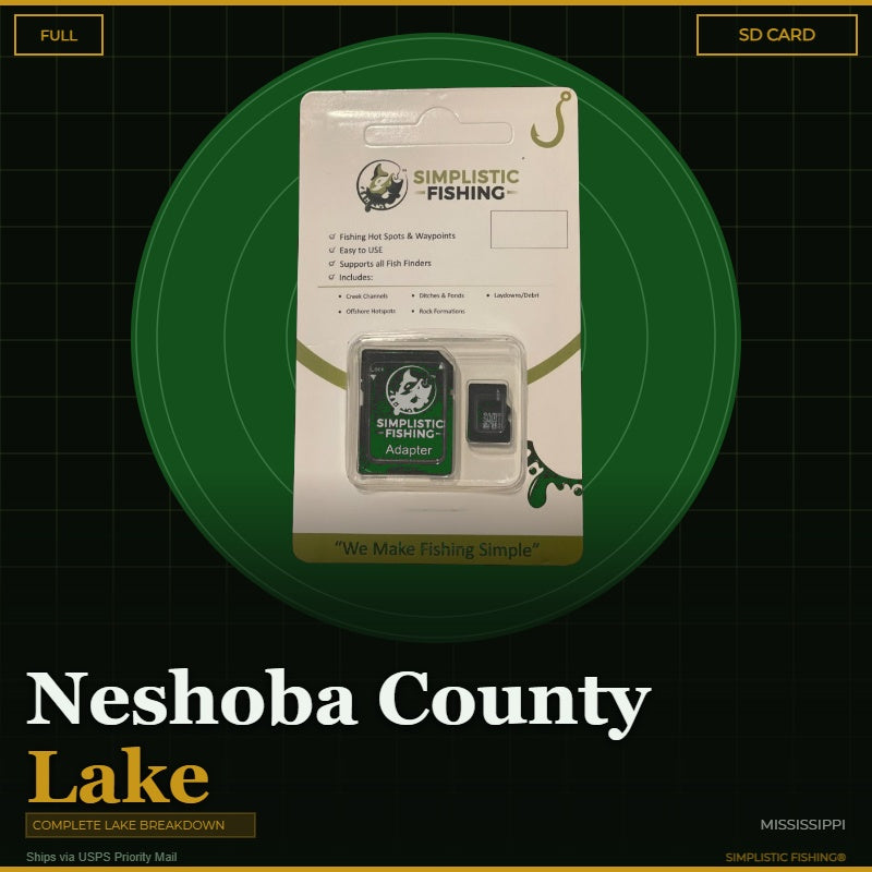
When you purchase our Neshoba County Lake fishing hotspots package, you'll receive both .gpx and .kml files that import cleanly into your boat's electronics, whether you're running Garmin®, Humminbird®, Lowrance®, or another major brand. The same files work in our Simplistic Fishing mobile app and in Google Earth® for planning your trip before you ever back down the ramp. Prefer plug-and-play? Our SD Card option ships via USPS pre-loaded and ready to drop straight into your graph.
Ready to fish Neshoba County Lake like you've been on it for years? Every purchase includes a free 15-day trial of our Simplistic Fishing app, so you can start marking your milk run tonight.
Every purchase includes a free 15-day trial of the Simplistic Fishing app. Terms apply →
On-the-Water Safety
On-the-Water Safety
Waypoints mark fishing structure, not safe travel routes. Brush piles, humps, ledges, rock, and attractors are exactly the kind of things a boat can hit. Many of the best spots sit in shallow or timber-filled water — idle in, watch your depth, and never run a straight line between waypoints at speed.
- You are the captain. Keep a proper lookout and run at a safe speed for the conditions, especially at night or in low light.
- GPS data can't guarantee obstacle clearance. Lake levels and structure change; a waypoint shows where something is, not that the water around it is safe.
- Looking for safe boat routes? Our Guide Lanes are verified navigation paths for select Texas lakes.
Safe operation of your boat is your responsibility. Simplistic Fishing is not responsible for damage, injury, or loss arising from use of this product.
Share


Fishing More Than One Lake?
Most anglers fish a handful of lakes a season. Grab the breakdowns together and the savings stack automatically at checkout — no codes to enter.
Discount applies automatically in cart. The more lakes you add, the more you save.