

Simplistic Fishing
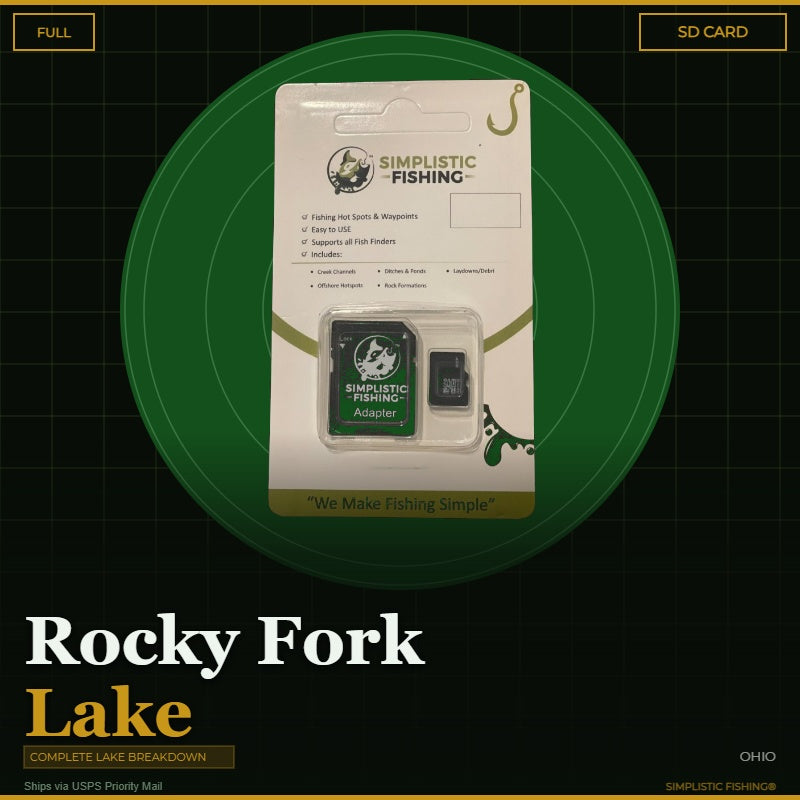
Rocky Fork Lake - Bass Fishing Hot Spots & Waypoints
Rocky Fork Lake - Bass Fishing Hot Spots & Waypoints
Buying the digital files? You'll need a PC or Mac with an SD card reader to load them onto your SD card — a phone or tablet can't transfer them. Want it done for you? Choose the SD Card option above and we'll ship it ready to use.
Couldn't load pickup availability
- Channels/Ditches & Drains 4
- Cover/Structure 150
- Offshore 34
- Ramps/Slabs 6
- Rock 38
Discover the ultimate bass fishing secrets at Rocky Fork Lake, OH with our meticulously crafted fishing waypoints. Leveraging the power of Google Earth®, Garmin® HD Contours as well as other tools, we've pinpointed the most productive hot spots where bass thrive. Delve into the intricacies of the lake breakdown, as our waypoints lead you to strategic locations like laydowns and wood debris, rock banks and rubble, offshore edges and ditch swings, ensuring you're at the heart of the action.
Rocky Fork Lake covers 1,992 acres in Highland County just east of Hillsboro, formed when the dam on Rocky Fork Creek was completed in 1951 and managed today by the ODNR Division of Parks and Recreation. It runs roughly 40 feet deep down near the dam, and the way the lake was built still dictates where the fish live: timber and stumps were left standing through the upper end, while the lower half is lined with steep, rocky banks. Our breakdown follows that split exactly — 232 waypoints in all, including 150 cover and structure marks (144 laydowns plus 6 wood debris piles), 38 rock spots, 34 offshore hot spots, 6 boat ramps and 4 ditch markers, plus 14 traced channels and ditches tracing the old creek bed. Alongside the largemouth, the lake also gives up white and black crappie, saugeye, white bass, channel and flathead catfish, sunfish and yellow perch.
But that's not all – we've taken it a step further by uncovering offshore fishing hot spots. Explore creek channel swings, humps, ledges, drop-offs, and points that promise an exhilarating bass fishing experience. The simplicity lies in the seamless import of these waypoints into your fishing graphs, providing you with a hassle-free navigation experience.
When you make a digital file purchase, you'll receive a supporting email containing the essential files for your graph – a .gpx file and a .kml file. These files not only enhance your on-the-water experience but also offer the flexibility to view Simplistic Fishing waypoints through a mobile app or on Google Earth®.
Elevate your bass fishing game with precision and ease and let our lake breakdown guide you to success on Rocky Fork Lake, OH.
Every purchase includes a free 15-day trial of the Simplistic Fishing app. Terms apply →
Share


Fishing More Than One Lake?
Most anglers fish a handful of lakes a season. Grab the breakdowns together and the savings stack automatically at checkout — no codes to enter.
Discount applies automatically in cart. The more lakes you add, the more you save.