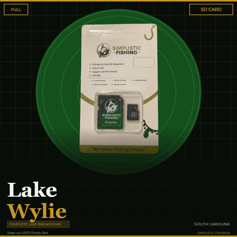
Buying the digital files? You'll need a PC or Mac with an SD card reader to load them onto your SD card — a phone or tablet can't transfer them. Want it done for you? Choose the SD Card option above and we'll ship it ready to use.
Couldn't load pickup availability
GPS-Verified Waypoints
Every brush pile, ledge, and structure point.
2010
What's Included
Attractors21
Channels/Ditches & Drains64
Cover/Structure375
Offshore365
Ramps/Slabs116
Rock1043
Vegetation26
Stop guessing and start fishing. This complete lake breakdown for Lake Wylie in York County, South Carolina gives you precisely mapped GPS waypoints for the high-percentage spots that hold fish — brush piles, channel swings, ledges, creek channels, road beds, offshore structure, and more. Every waypoint is verified using Google Earth® and Garmin® HD Contours offshore data so you know exactly what's beneath the surface before you ever leave the ramp. Whether you're a weekend warrior, a tournament angler, or just fishing Lake Wylie for the first time, this breakdown puts years of on-the-water knowledge in your hands. What's included: — GPS waypoints for brush piles, ledges, creek channels & more — Offshore structure mapped with Garmin® HD Contours data — Compatible with Humminbird®, Lowrance®, and Garmin® fish finders — Available as a preloaded SD card (ships via USPS Priority Mail) or instant digital download — Free 15-day trial of the Simplistic Fishing app included with every purchase